Further update Sept. 13, 2018. 9:58 a.m.
Sept. 12, 2018. 9:16 p.m.
Hyde County has received reports that the Knightdale High School shelter near Raleigh is full. If you have not evacuated yet and need a shelter to go to, Hyde County residents can use Southeast Raleigh High School, at 2600 Rock Quarry Rd, Raleigh, 27610.
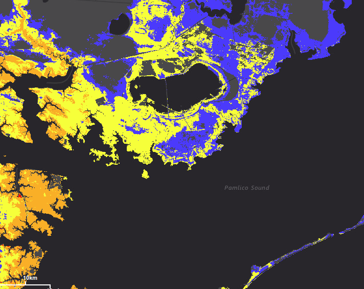
The county is under both hurricane and storm surge warnings and says preparations to protect life and property should be rushed to completion and persons located within these areas should take all necessary actions to protect life and property from rising water and the potential for other dangerous conditions.
To see the areas at risk, please see the National Weather Service Storm Surge Watch/Warning Graphic, available at http:// hurricanes.gov.
While the Wednesday afternoon National Hurricane Center (NHC) update has Hurricane Florence’s track moving slightly to the south of yesterday’s prediction, it is also predicting the storm to linger off the coast before moving to the south. This shift will bring increased rain to an already extremely high prediction.
Hurricane Florence is still forecast to be an extremely dangerous major hurricane when it nears the U.S. coast late Thursday and Friday. Hurricane force winds extend outward up to 70 miles from the center and tropical-storm-force winds extend outward up to 175 miles.
According to the NHC, coastal North Carolina could see between 20 to 30 inches of rain over the course of the storm, with localized areas of up to 40 inches. Combined with storm surge predictions of up to six feet in our area, higher in some localized areas, the potential for a serious flooding event is extremely high.
If you have any questions or immediate concerns, contact the Emergency Operations Center at 252-926-3715.


